Filters
Vicki O'Donnell
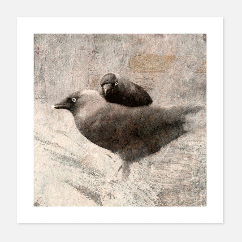
Oi
Sale priceFrom €75,00
Vicki O'Donnell
The Stare
Sale price€55,00
Vicki O'Donnell
The Strand
Sale priceFrom €99,00
Vicki O'Donnell
Island Fog
Sale priceFrom €55,00
Vicki O'Donnell
Foundations
Sale priceFrom €55,00
Vicki O'Donnell
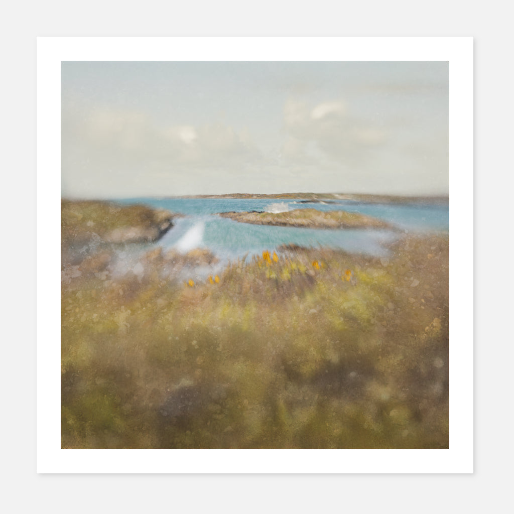
Behind the Gorse
Sale priceFrom €55,00
Vicki O'Donnell
Old Wall
Sale priceFrom €55,00
Vicki O'Donnell
Shelter
Sale priceFrom €55,00
Vicki O'Donnell
Sea Thrift
Sale priceFrom €55,00


